Precision Agriculture
Mapping
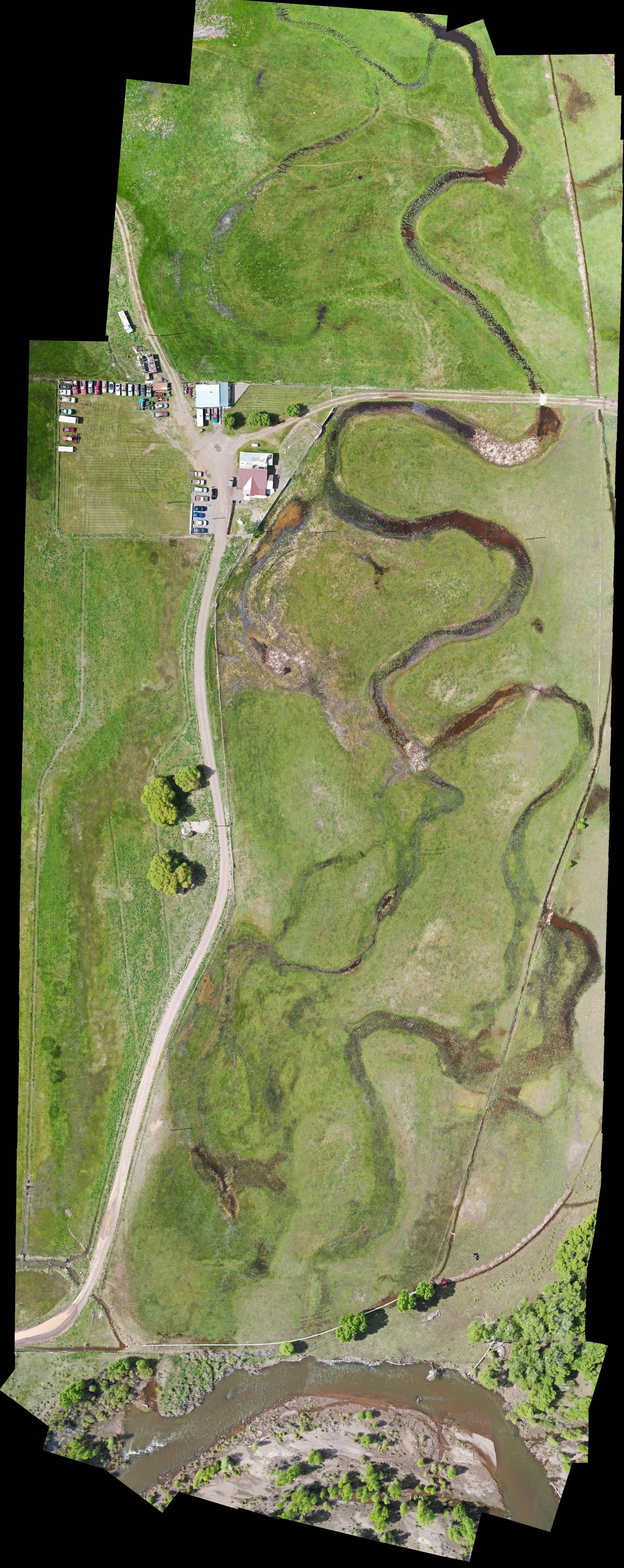
Highly accurate and high quality mapping paired with a mulitispectrural camera will give any grower the insight they need to assess issues with their crop and act accordingly to increase yeilds. With a visible light map of a crop, growers are able to see many things. From fertilization to water drainage. Multispectrural mapping allows growers to see what they cannot with their naked eye. The Red, Green, and Near Infrared bands of light allow growers to see trouble areas in a field and assess what needs to be done to improve the affected area.
Hail Damage Assessment
Multispectral Mapping
RBG
NDVI
ADVI
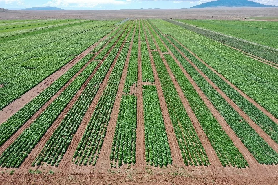
Having aerial images of your crop is an amazing way to show off your potential to existing clients or just to anyone you want. Be proud of your hard work and get some beatutiful aerial images of your crop!


